Apple Maps Adds Airport Terminal Guide for Travelers
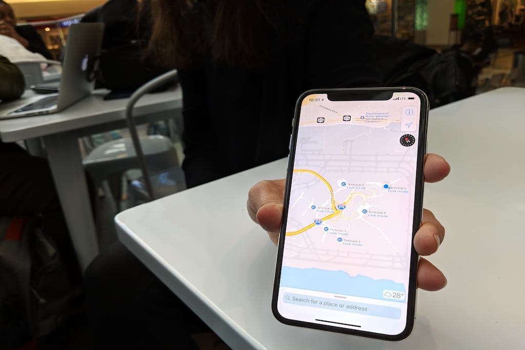
Photo Credit: An Apple representative shows off the new indoor maps feature in Terminal 5 at JFK International Airport. Skift
Skift Take
Built-in maps of airport terminals are certainly useful for iPhone users. But this new feature has a long way to go in terms of airports included and the granularity of information available, before it becomes a mainstay for frequent travelers.
iPhone apps are a core part of today's travel industry, but Apple itself hasn't yet exercised its travel gene in a big way.
For many reasons, finding out precise information about where to eat or shop when you're stuck in an airport terminal remains a hassle. Now, Apple wants to fix that by building airport maps into each of its devices.
It's not a killer travel app by any means, but it is dipping its toe in the water.
Apple has added airport terminal maps, featuring check-in locations, dining options, and shopping outlets, into its Apple Maps app in iOS 11 as part of a new indoor maps feature.
The feature emerged quietly this summer a
