Google Street View starts tackling the hard-to-reach corners of the globe
Skift Take
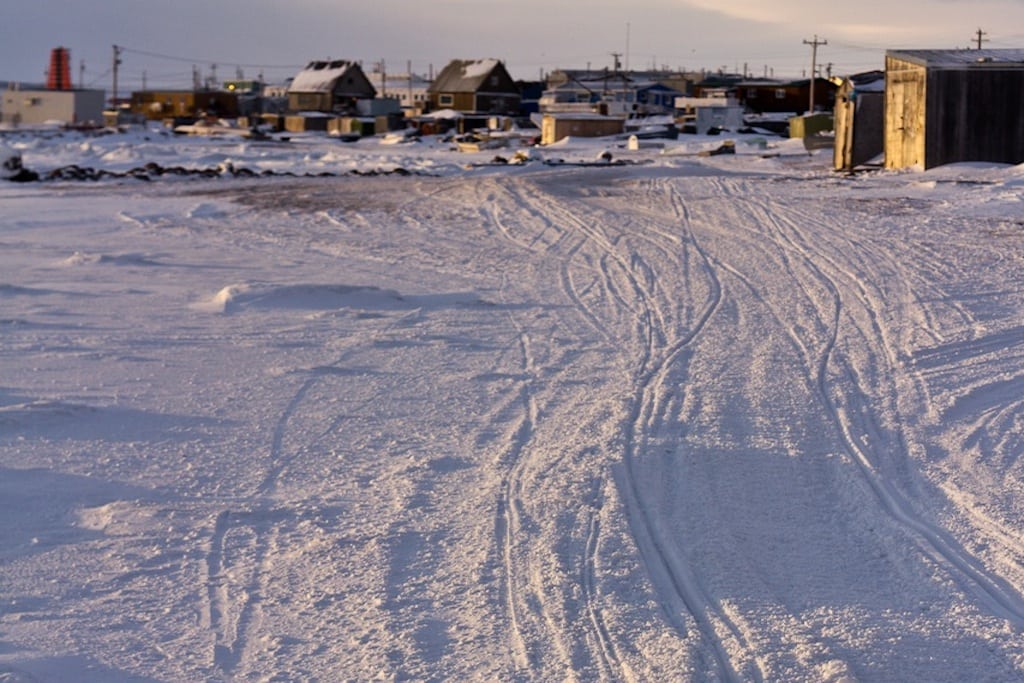
Google Street View’s first trip to the Canadian Arctic and its images of the ghost town left by Japan’s 2011 earthquake are evidence of Google’s goal to put every inch of the earth online.
It has charted the world's highest peaks, the ocean floor, the Amazon rainforest and even provided a glimpse into the hermit state of North Korea. But Google's mission to map the world has largely steered clear of the inhospitable Arctic.
Now, however, the search-engine firm is embarking on what might be the most significant update to centuries of polar cartography – and one it hopes will foster a better understanding of life on the permafrost for millions of web users. Google has flown a small team to Iqaluit, the largest town in the Canadian territory of Nunavut, armed with their warmest winter gear, a stack of laptop computers and a 18kg (40lb) backpack-mounted telescopic camera.
Helped by an Inuit mapping expert, and stalked by curious locals, the team spent four days trudging through the terrain and collecting the images and information that will give the isolated community on the tundra of Baffin Island what urbanites across the globe now