

Google debuted an interactive map with Street Views of 16 international airports, more than 50 train and subway stations, numerous museums around the world, and even a Hong Kong cable car station.
Damn, there Google goes again — overwhelming the travel industry with its maps, Street Views, flight search, hotel search, and airline check-ins through Gmail.
Well, GateGuru, which specializes in flight and airport information, and others competing in the space should take notice, but don’t throw in the towel yet.
Google Street Views of airports, transit stations and museums are fun and a nice touch, but they aren’t highly informative at this point.
On the other hand, GateGuru isn’t very image-friendly, but you can find details and ratings related to airport gates, restaurants, flights, tips and maps, for example.
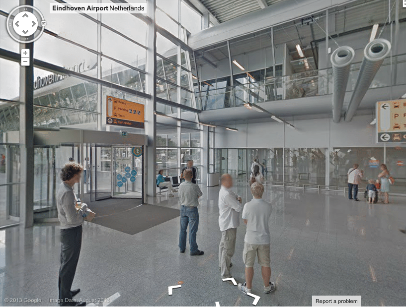
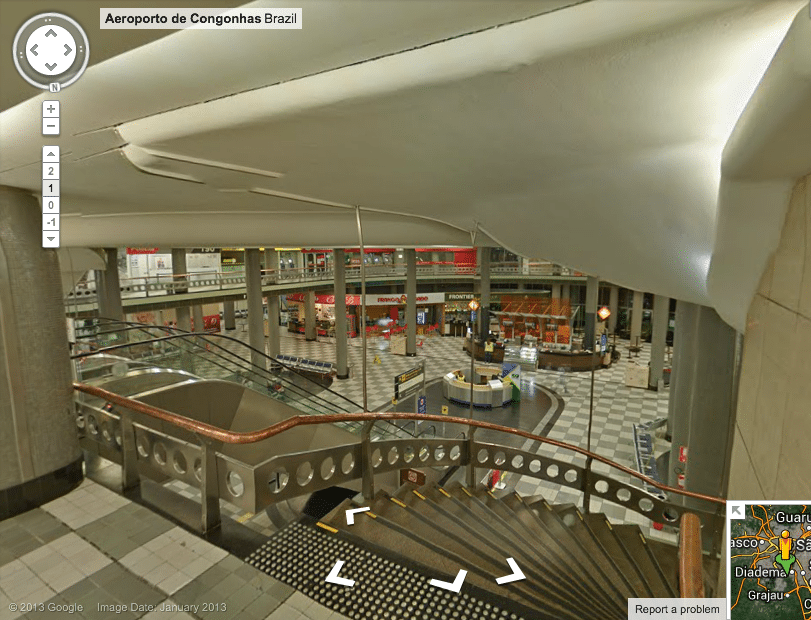
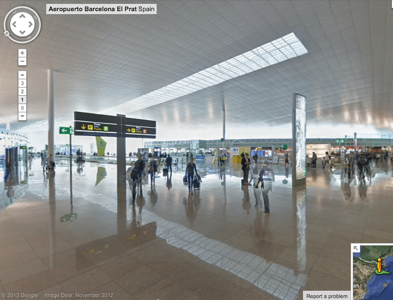
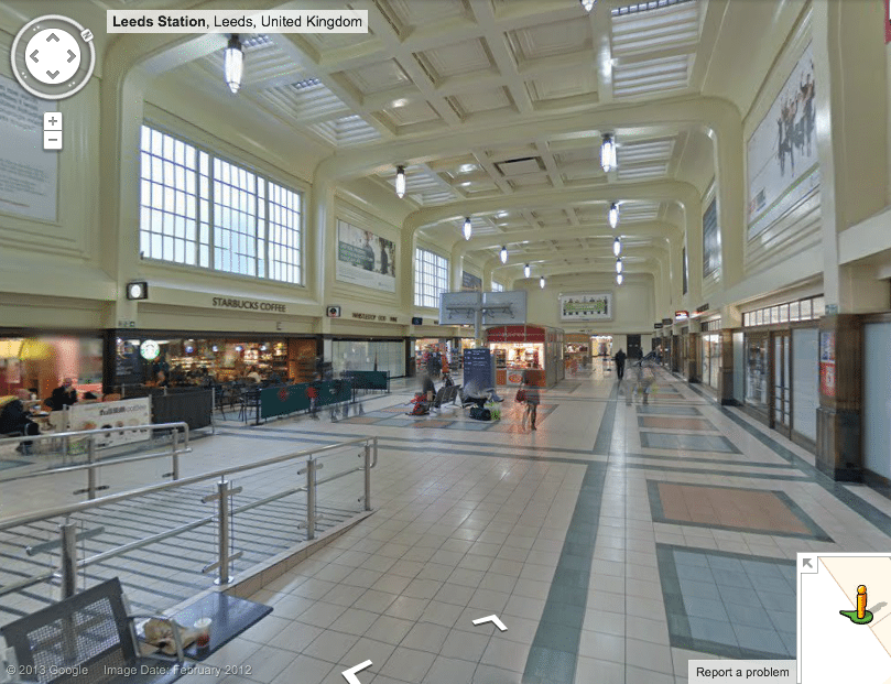
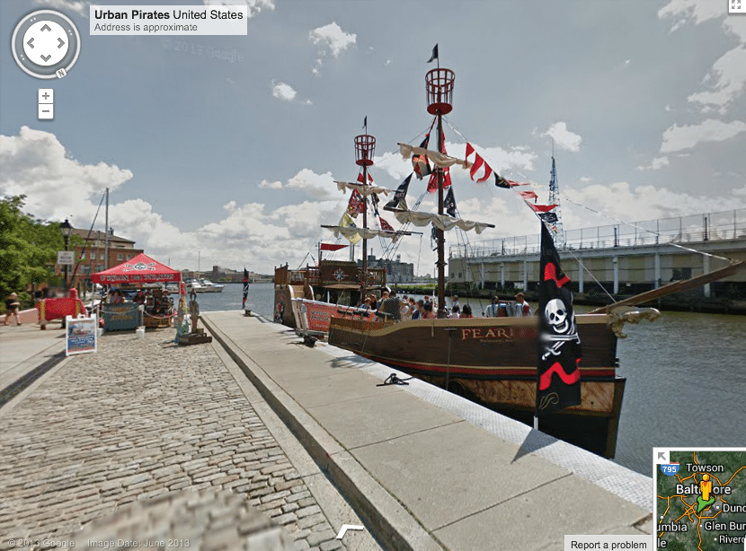
Google’s new Street View information on airports and transit hubs starts with an interactive map.
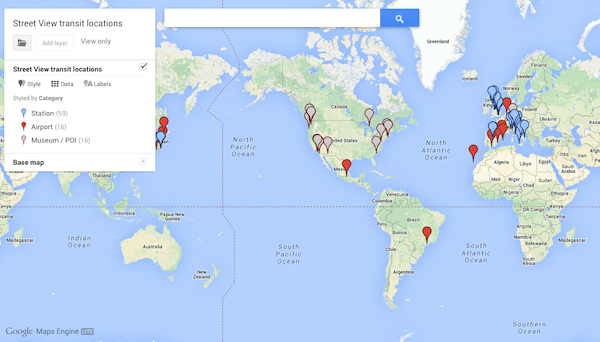
Once you click on a pin detecting an airport, station or museum, you navigate to a Google Map for a Street View of the destination (see gallery above).
You get a glimpse of what the airport, museum or rail station look like at that particular moment, and you can rotate the image, and then access driving directions etc.
But, Street View still doesn’t provide a lot of the unglamorous details that a traveler would need.
Subscribe to Skift Pro to get unlimited access to stories like these
{{monthly_count}} of {{monthly_limit}} Free Stories Read
Subscribe NowAlready a member? Sign in here
Subscribe to Skift Pro to get unlimited access to stories like these
Your story count resets on {{monthly_reset}}
Already a member? Sign in here
Subscribe to Skift Pro to get unlimited access to stories like these
Already a member? Sign in here
