Skift Take
A small number of travel startups just gasped their last dying breath. The desire to physically see the distance covered on a map dates back before the guidebook, but this new tool lets users add context and quickly share it across the web.
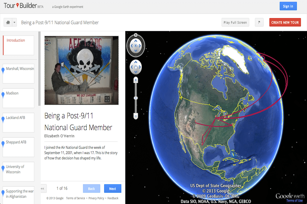
Google unveiled a new product yesterday that lets users map their travels with photos, videos, and text using Google Earth. The Google Lat Long blog describes the Tour Builder as “a simple tool for recording and sharing stories on a map.”
To get started, users need the Google Earth plugin and a Google account. They give the tour a name, an introduction photo, and description before adding photos or videos to destinations around the world.
The project, a collaboration between Google Creative Lab and Google Earth Outreach, was originally created to connect veterans and their families. But the beta-version product can now be used by any traveler, teacher, or storyteller.
The YouTube video below shows how one history teacher uses the Tour Builder to bring history to life for his students:
The Daily Newsletter
Our daily coverage of the global travel industry. Written by editors and analysts from across Skift’s brands.
Have a confidential tip for Skift? Get in touch
Tags: google, google earth, tours
Photo credit: One of the first trips on the Google Tour Builder is Elizabeth O’Herrin’s story of service in the Air National Guard from Wisconsin to Afghanistan and back. Google Maps