Skift Take
Although unsettling to some, the more places that Google can be at once, the better the data and services it can provide its users.
…in March of last year, Google Maps became much more useful to drivers, because in addition to offering directions, they also started to offer real-time views of how congested the roads were. If a road is colored green, it means it’s moving along, but a yellow road suggests some traffic and a red road means even more congestion.
Google realized that as more and more people continued to switch to smartphones, they had a miniature army of traffic monitors that they could make use of. Thus, the traffic flow that you see on your map is a highly accurate real-time display of the number of Android phones that are currently trying to make that same trek.
The Daily Newsletter
Our daily coverage of the global travel industry. Written by editors and analysts from across Skift’s brands.
Have a confidential tip for Skift? Get in touch
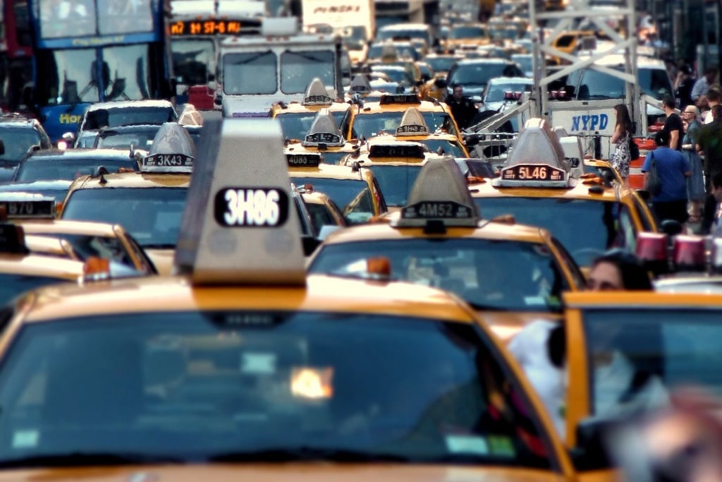
Photo credit: Traffic jam fills Times Square, New York City. BK / Flickr