Skift Take
Though the data collection is labor intensive, insights drawn from the millions of sign-ins will help the park prioritize staffing needs, marketing plans, and event promotions while working within a budget.
Student researchers are shuffling through thousands of pages from hundreds of trailhead sign-in logs to transform information penciled in by hikers into sophisticated maps that could help manage, protect and market New York’s 6-million-acre Adirondack Park.
The overall goal is to develop a comprehensive computer-based map system containing information about the plants, animals, land, water, roads, buildings and other aspects of the park to inform the land-use planning required by state law to protect the Adirondacks.
“Knowing how recreational use distributes across the park can help us make more fine-tuned decisions about how to reach sustainability in the Adirondacks in terms of community development, recreation management and tourism,” said Abigail Larkin, a doctoral student at the State University of New York College of Environmental Science and Forestry who’s leading the trail project.
The Department of Environmental Conservation will use the digitized trail-use data in land-management decisions. Larkin and other scientists at the college will use it in future research projects. And local and regional economic development officials and tourism businesses plan to use it in decisions about scheduling events and targeting marketing programs.
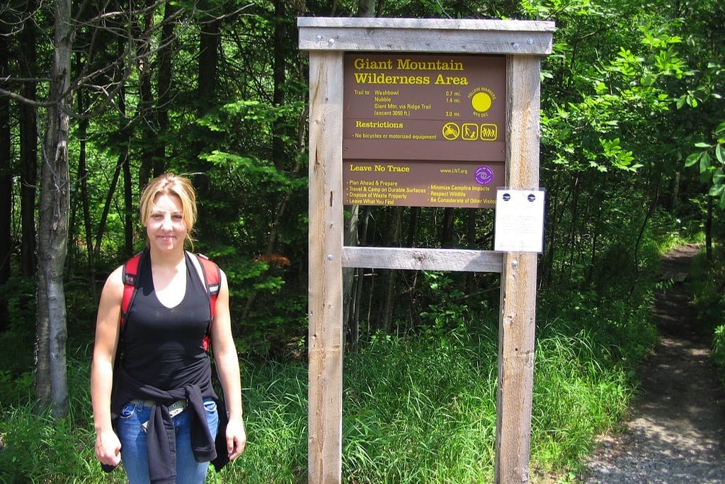
Trail registers are kept in wooden kiosks at 269 trailheads on state Forest Preserve land in the park, which is a patchwork of public and private land. The main reason for the logbooks is for safety; if a hiker is reported missing, rangers can check trail registers to see if the person signed in and out.
A hiker signs in with name, address, contact number, number of people in the group, destination and estimated length of stay. There’s also a space to check off to show the hiker has made it back out.
Larkin and four student interns are working full time this summer at the college’s Adirondack research center in Newcomb, collecting boxes of 2012 trail register pages from various DEC offices and scanning them into a computer. Then they’re typing information from the registers into a geographic database program. Names aren’t recorded; only date, home city and state, number in group, destination and length of stay.
Some trails have hundreds of register pages per year, with 40 entries per sheet. Less popular trails may have only one page for the whole year.
While only 2012 records are being compiled this year, project leaders plan to select trails for additional long-term data collection going back to 2000 to provide a basis for analyzing recreation trends over the past decade.
Robert Davies, director of DEC’s Division of Lands and Forests, said the trail register mapping project evolved from a project the agency did with the college several years ago, when park visitors were surveyed about their experiences in the Adirondacks.
“One thing we were surprised at was the value of trail register data,” Davies said. “We didn’t expect to see a high level of accuracy because signing in is voluntary. But the study found the information is about 95 percent accurate.”
Davies said the registers provide a tool to prioritize management efforts. “Where should we have staff on Columbus Day weekend? What are the priorities for fixing bridges or locating a new lean-to?”
Forest rangers know a lot about trail use in their regions.
“But one thing that’s missing is the big regional picture of how people are moving around the park,” said Stacy McNulty, associate director of the Newcomb research center.
“The communities really feel that if we’re going to be successful in having economic benefits from the Forest Preserve, we have to understand how tourists are using it,” said Bill Farber, supervisor of the town of Morehouse and chairman of the Hamilton County Board of Supervisors. “The more we know about users and where they come from, the easier it will be to link the communities in a tangible way.”
For instance, if the data show that a large number of hikers using a nearby trail come from western New York, they could target advertising there or schedule special events for times when nearby trail use is heavy.
“Most parks don’t have any hard data about how people are using trails and other infrastructure, but in the Adirondacks we have all these trail registers with decades of data,” said Colin Beier, an ecologist at the research center.
Davies said the database will also help identify trends in backcountry use.
“Back in the ’70s, backpacking for long durations, three to five days, was quite common,” he said. “We think anecdotally that the trend is going toward more day use, but we don’t have data to back that up. We need to know what our users are doing on the land so we can manage it best to accommodate them.”
Copyright (2013) Associated Press. All rights reserved. This material may not be published, broadcast, rewritten, or redistributed.![]()
The Daily Newsletter
Our daily coverage of the global travel industry. Written by editors and analysts from across Skift’s brands.
Have a confidential tip for Skift? Get in touch
Tags: big data, maps, national parks
Photo credit: A park visitor stands in front of the Giant Mountain trailhead sign-in in Adirondack Park, New York. Endlisnis / Flickr